Data types
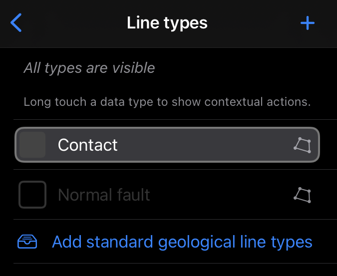
In Mapboard GIS, edited features must be assigned to a data type. The Data type panel allows users to switch data types during mapping, and to create new arbitrary data types for line and polygon features. Typically, line features are used for contacts and boundaries, while polygon features are used for map units.
In Tethered mode, line and polygon types are managed directly in the PostGIS database, and cannot be controlled from within the app.
Only a few line types are initially defined, but standard geological line definitions or user-defined types can be added easily.
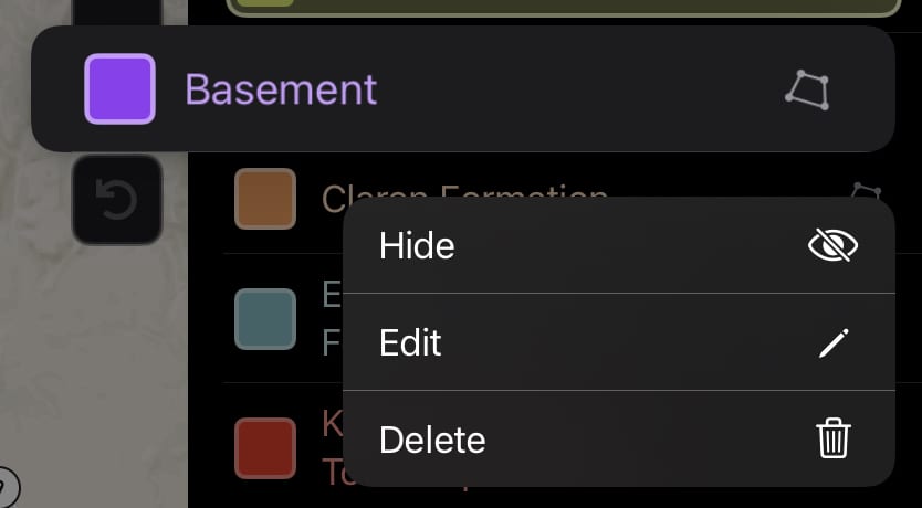
Currently-defined line and polygon types can be controlled by pressing the swatch to reveal contextual actions.
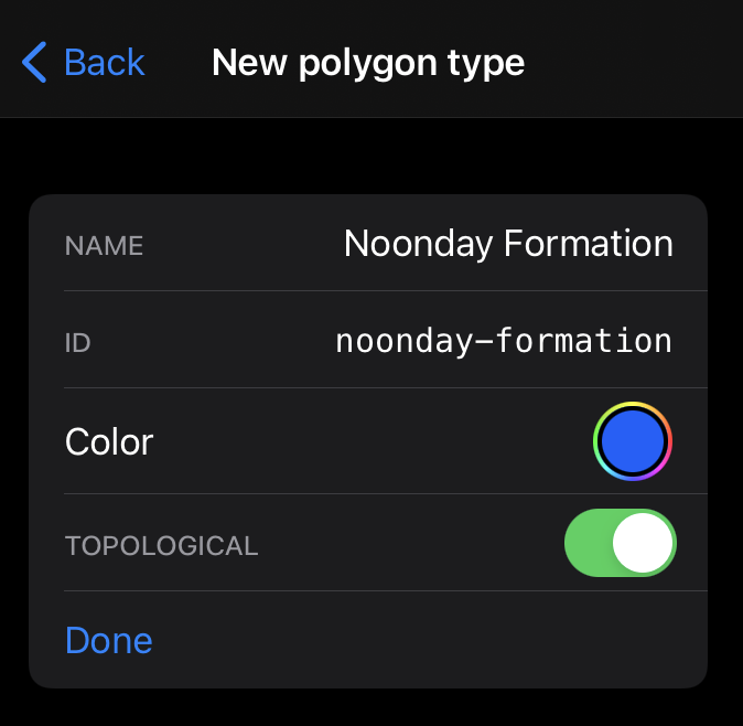
At the editing interface, line and polygon types can be modified and given map colors. The ability to add map patterns is coming soon.
Both line and topology types can participate in topological relationships managed by the app’s topology engine. These “topological” data types are denoted by a polygon icon on the right side of the swatch.
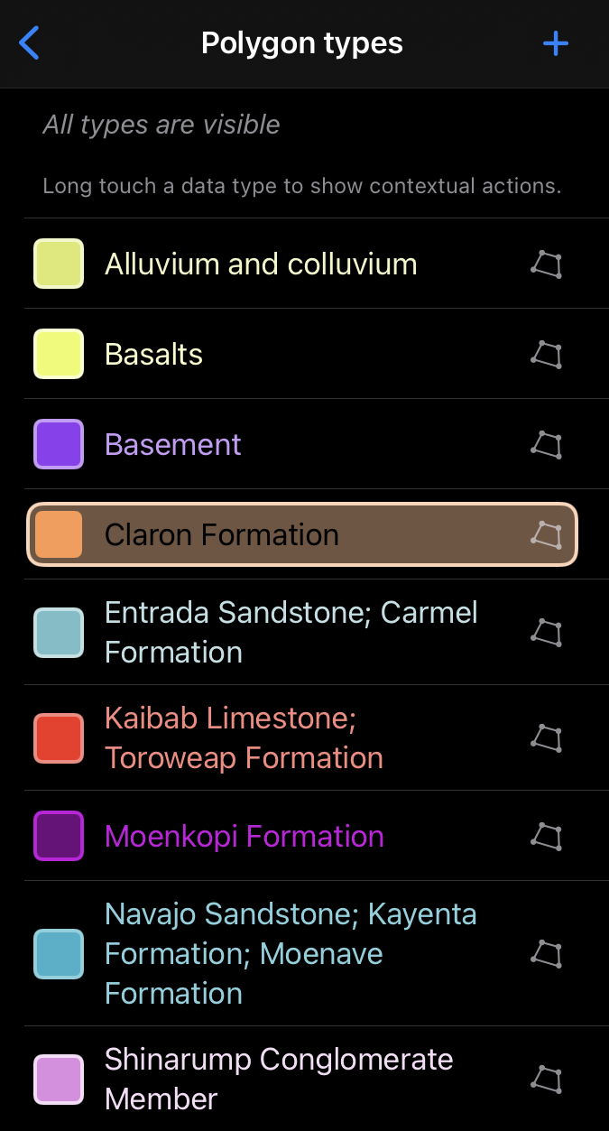
The ability to add multiple feature types allows mapping to be customized, to different field areas and tasks across the geosciences.