Basemaps

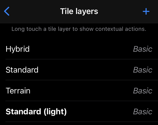
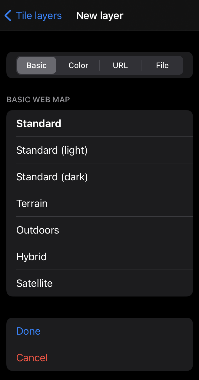
Mapboard GIS includes a variety of Mapbox basemaps
to contextualize mapping.
Additionally, mbtiles-formatted basemaps and streaming imagery can be added,
allowing a wide range of map imagery to be used in the application.
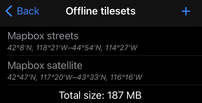
Caching Mapbox tilesets

As of version 2.3.0, Mapboard GIS can cache tilesets from Mapbox’s servers.
The Manage offline tilesets panel can be invoked from the Tile layers selection
page. Pressing the + button at the top of this panel starts the process of downloading
an offline tileset. Previously created tilesets are listed in this panel and can be deleted
with contextual actions. Tilesets are shared between projects and limited to Mapbox-provided
basemap layers.
The user interface for this feature is very basic and will be improved in a future release.
Creating basemaps

The most common way to get outside imagery into Mapboard GIS is to convert it to a MBTiles basemap. MBTiles is a pre-tiled imagery format where imagery for different zoom levels is stored in a SQLite database (see the spec). It is easy to consume on mobile devices with relatively little overhead. However, because it’s not a traditional GIS format, it must typically be prepared by the user. There are a few options:
- QGIS
can create
mbtilesfiles from existing raster layers. - The commercial MapTiler package can be used to generate MBTiles datasets from imagery sources including GeoPDFs (see this help page).
- The RasterIO MBTiles extension allows the creation of MBTiles files from most raster imagery.
- GDAL can be used to create a MBTiles file using the
gdal_warp,gdal_translate, andgdaladdoutilities.
A generic recipe for MBTiles preparation with GDAL:
gdal_translate -expand rgba input.tif step1.tif
gdalwarp -t_srs EPSG:3857 step1.tif step2.tif
gdal_translate -of mbtiles step2.tif output.mbtiles
gdaladdo output.mbtiles 2 4 8 16 32 64 128 256